
< Previous | Contents | Next >
2. General Characteristics.
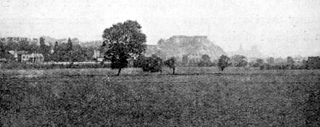
Nottingham from The Meadows.
Nottinghamshire has no seaboard. Nevertheless those reaches of the Trent which form part of its eastern boundary are influenced by the tide and can carry ships of 150 tons burden. Throughout the length of the county the Trent has always been an important highway and a dominant factor in its history and commercial development. During the nineteenth century the river became overshadowed by the railways and its traffic declined. Recent years have brought with them a renewed interest in it which is leading to a realisation of its possibilities as a commercial highway.
Thus in spite of its inland position this county has some of the advantages of a seaboard. In other respects it exhibits a mixed character. To the north-west lies upland England, with regions rich in mineral wealth and thickly peopled with an industrial population. To the south-east is lowland England, pastoral and agricultural, and dotted with residences and parks. Nottinghamshire lies on the boundary between the two and participates in the characteristics of both.
Its highest ground is on the west and is the extremity of a spur from the Pennines. Throughout the whole of its eastern border the ground is very low, never reaching an altitude of 100 feet.
The higher ground of the west furnished a few streams capable of supplying water-power for driving machinery during the early days of the industrial revolution. In the same part of the county the presence of abundance of coal served still to retain the industries when water-power was replaced by steam.
In the east no such natural advantages existed to favour the development of industries. That part of the county therefore remains purely pastoral and agricultural. In the heart of the county palatial residences and extensive parks are so numerous that this region is often called “The Dukeries.”